surfPPC Tutorial No. 7, Mars
ColorMapped DEMs
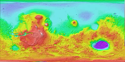
A final type of "DEM" is available: a colormapped image with a separately
provided key. I found an image of Mars color coded this way, and so now surfPPC
supports external color maps. Make or obtain a colormap gradient file. Name
the file appropriately and read it first, then the colormapped image and surfPPC
will use the supplied gradient rather than its normal method of image luminance
to obtain the height information. The colormap used in the Mars map was very
non-linear, but it was luckily monotonic.
Input images:
1

The color bar
2
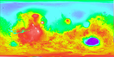
This altitude iimage is colored using the color bar
3
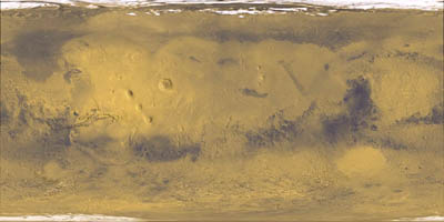
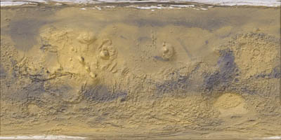
This is the true color image
Open the color bar image with o. No image is displayed
but the color bar will be used to interpret subsequent images.
Open the false color image with o. This takes
longer than usual because surfPPC uses the color bar, which is more computationally
expensive.
Save the heights in a BHFF file with s.
Close all images or simply quit momentarily.
We are now ready to open false color or true color images with o
and then Shift-O to read the BHFF heights.
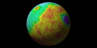
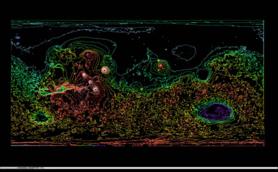
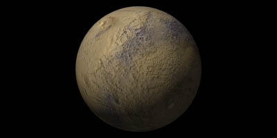
The following images are renderings of such a height field
a) False color on sphere
b) False color on plane
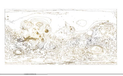
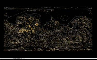
c) False color matching contours on black
d) True color on sphere
e) True color on plane
f) True color matching contours on black
g) True color matching contours on white